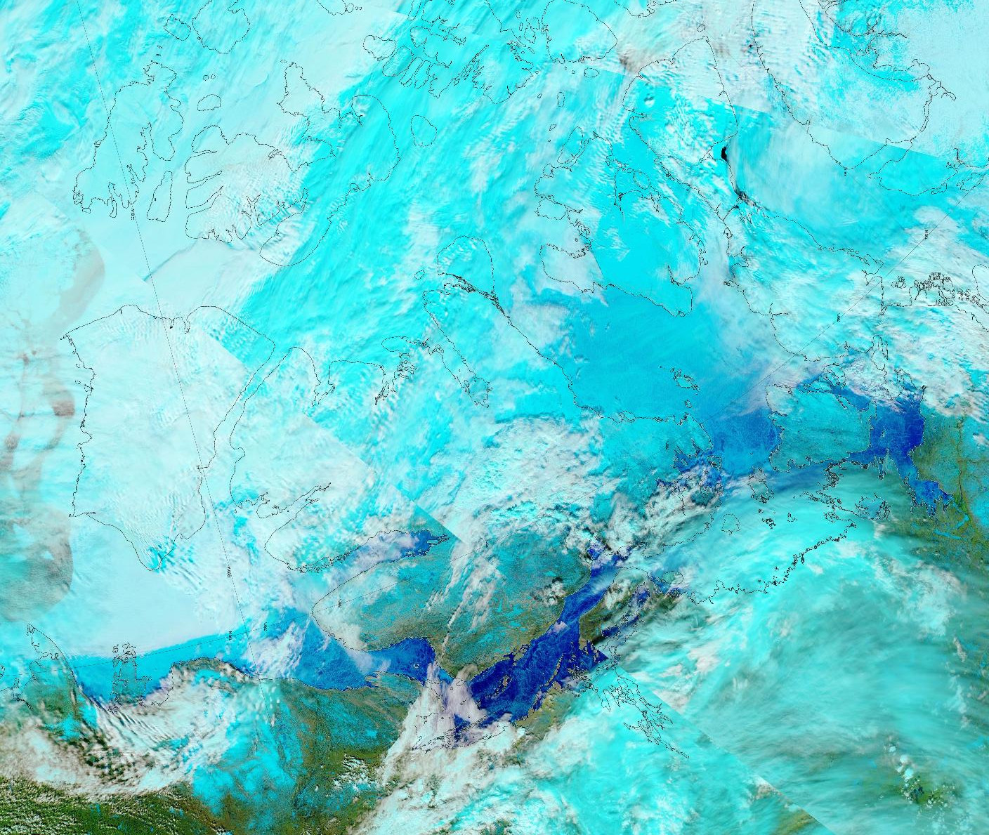
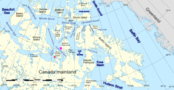
For those of you unfamiliar with the names of the assorted islands and channels of the Canadian Arctic Archipelago here is a map that hopefully helps:
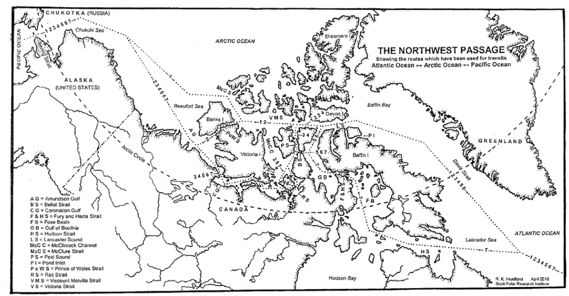
Plus another map detailing the routes through the Canadian Arctic Archipelago that have previously been successfully navigated by vessels large and small:
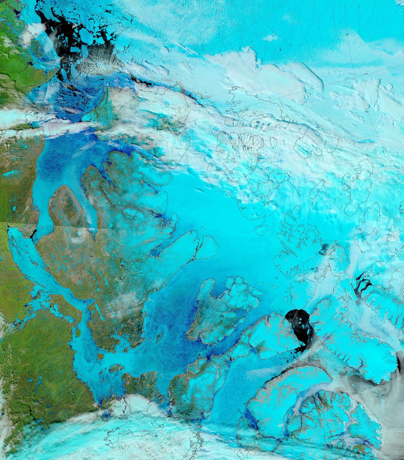
The sea ice in Lancaster Sound and the Amundsen Gulf is breaking up, and melt ponds are now visible on the fast ice across much of the southern route through the Canadian Arctic Archipelago:
The melt ponds previously visible in the Coronation Gulf now appear to have drained: