The images below have links embedded in the captions which provide access to further images. Please click them and explore! For the satellite images you will find yourself on the NASA Worldview web site, where with a click or two you can easily see the effect of changing from one “pseudo colour” representation of the satellite data to another.
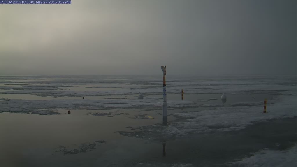
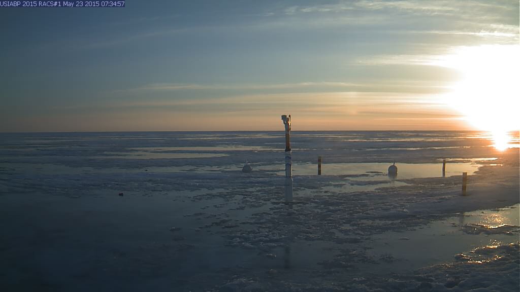
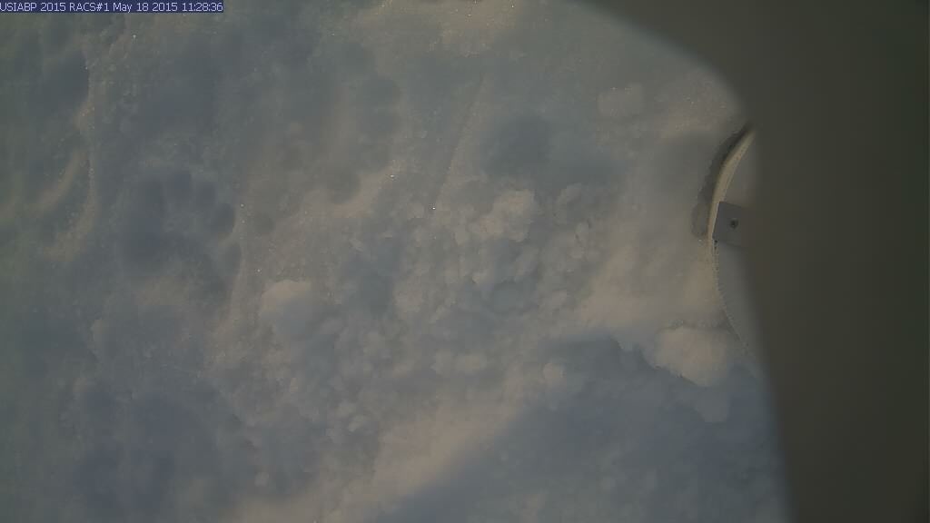
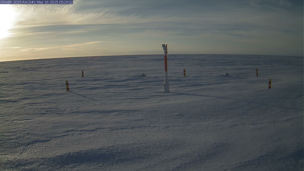
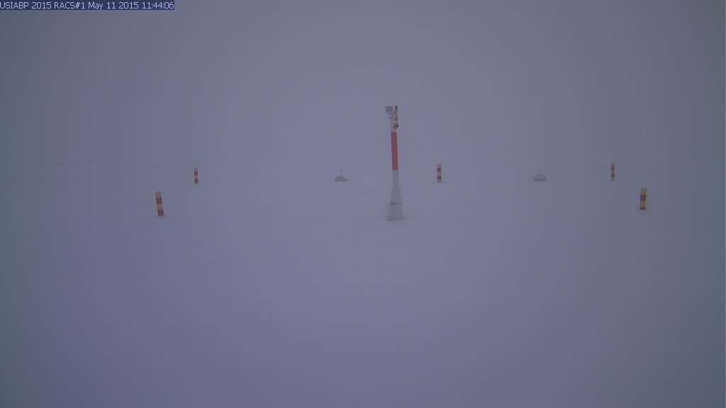
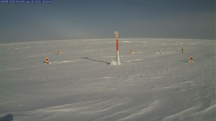
Ice Mass Balance Buoy 2015A webcam image on May 27th 2015.Ice Mass Balance Buoy 2015A webcam image on May 23rd 2015. Spot the melt ponds!Ice Mass Balance Buoy 2015A webcam image on May 18th 2015. Spot the paw prints!Ice Mass Balance Buoy 2015A webcam image on May 16th 2015Ice Mass Balance Buoy 2015A webcam image on May 11th 2015Ice Mass Balance Buoy 2015A webcam image on April 26th 2015
Ice Mass Balance Buoy 2015B Webcam
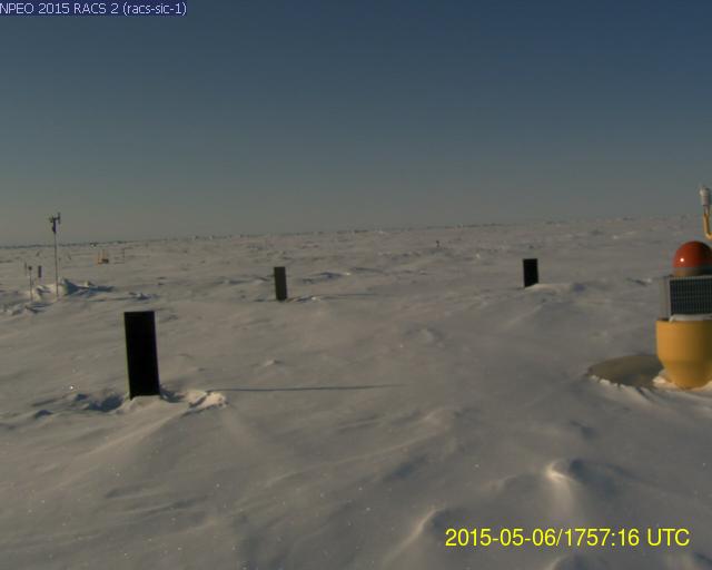
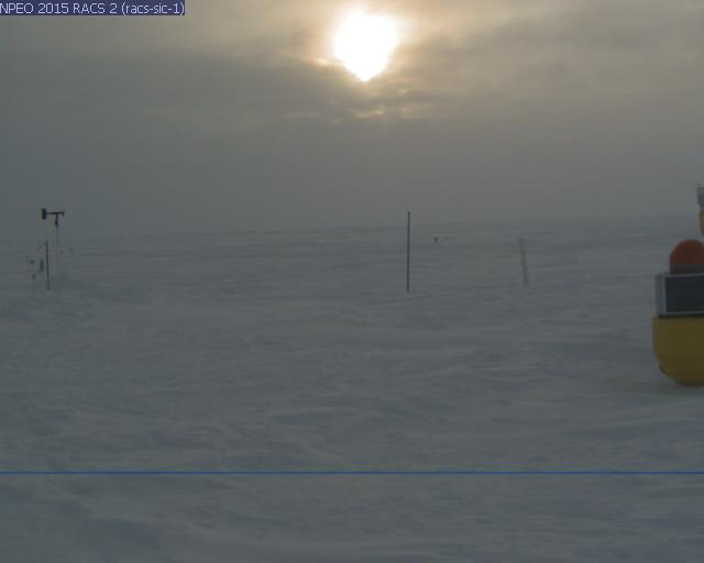
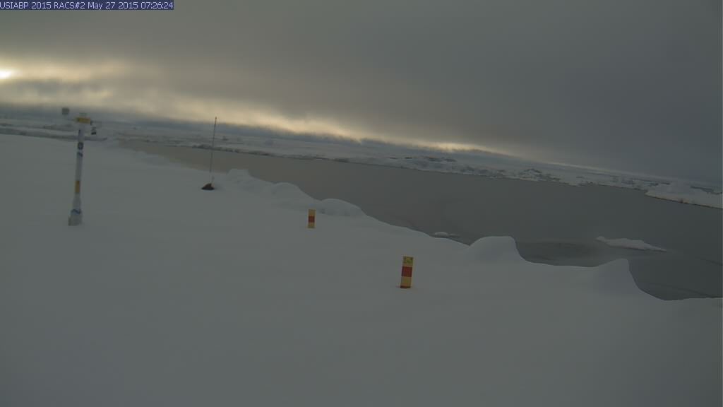
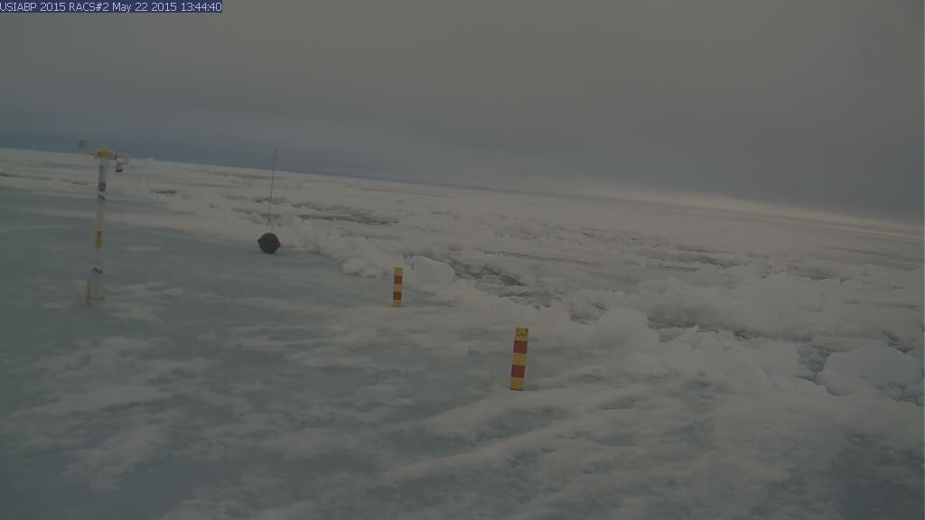
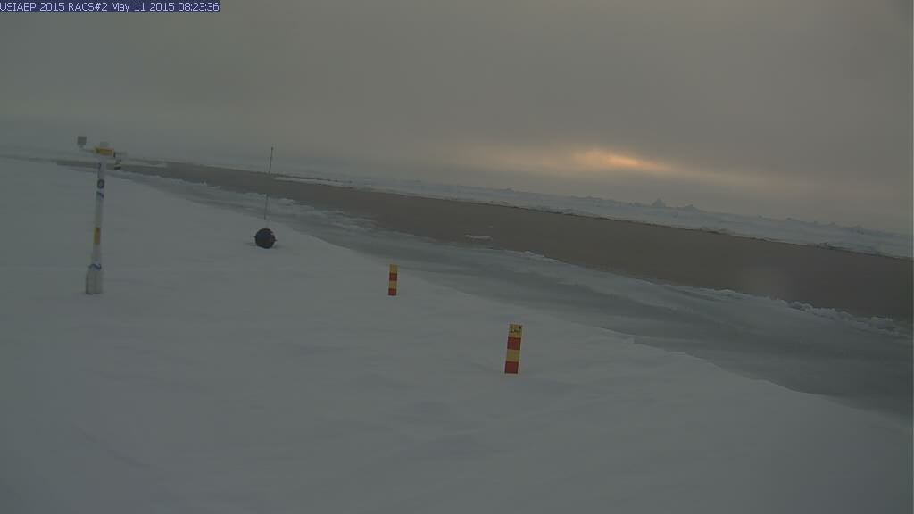
Ice Mass Balance Buoy 2015B webcam image on May 27th 2015. Spot the snow!Ice Mass Balance Buoy 2015B webcam image on May 22nd 2015Ice Mass Balance Buoy 2015B webcam image on May 11th 2015Ice Mass Balance Buoy 2015B webcam image on April 20th 2015
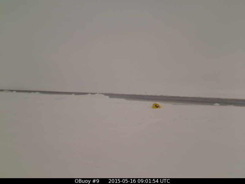
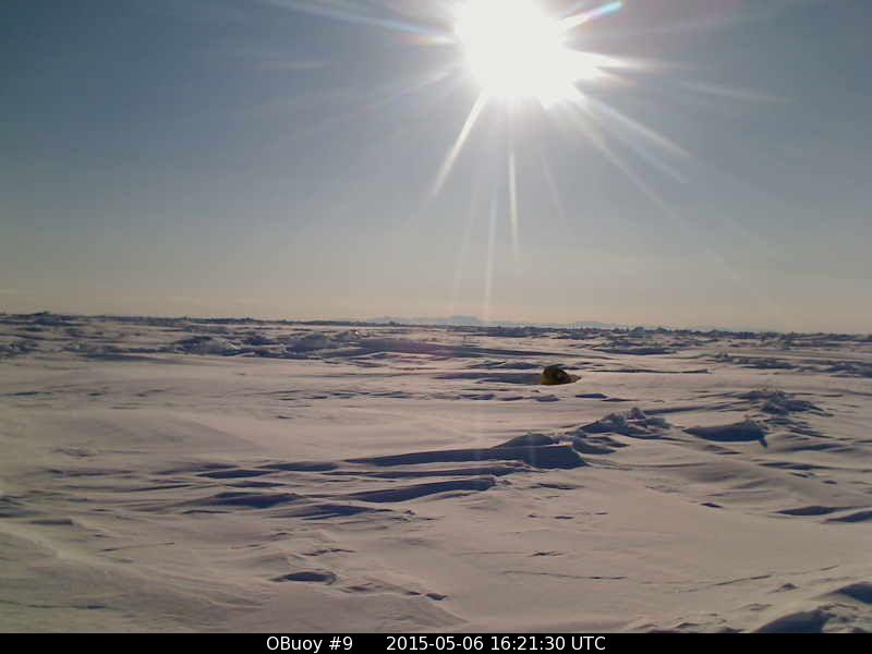
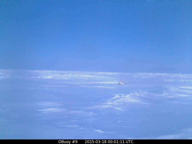
O-Buoy 9 Webcam
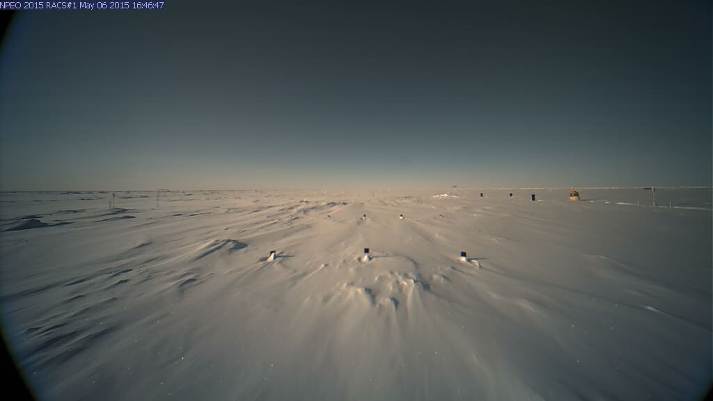
O-Buoy 9 image from May 16th 2015, showing ITP 59 collapsed next to a leadO-Buoy 9 image from May 6th 2015, with Greenland visible in the background.O-Buoy 9 image from March 18th 2015, shortly after the buoy powered up after the winter.
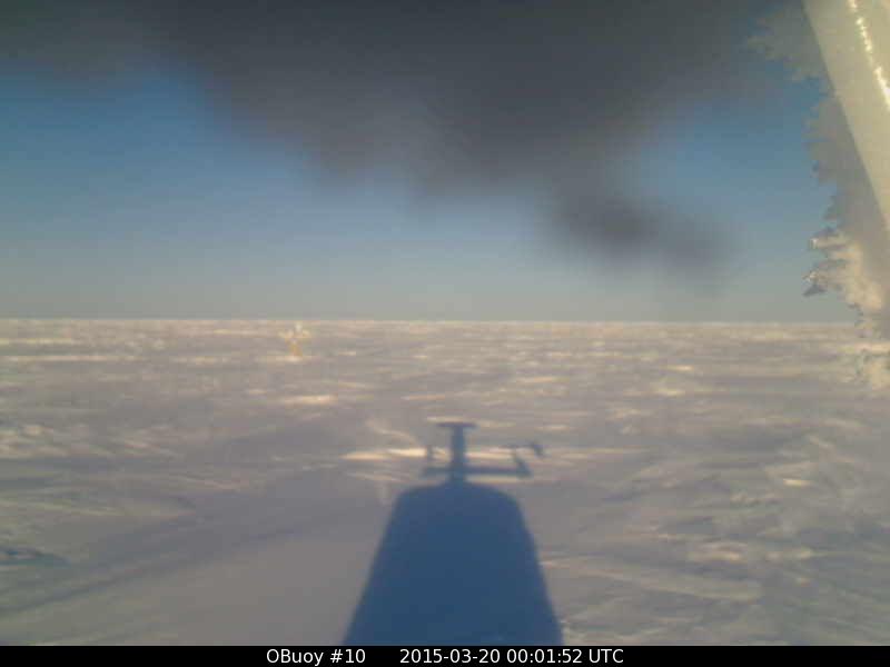
O-Buoy 10 Webcam
O-Buoy 10 image from March 20th 2015, shortly after the buoy powered up after the winter.
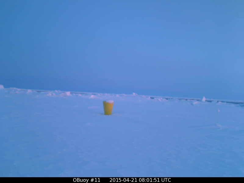
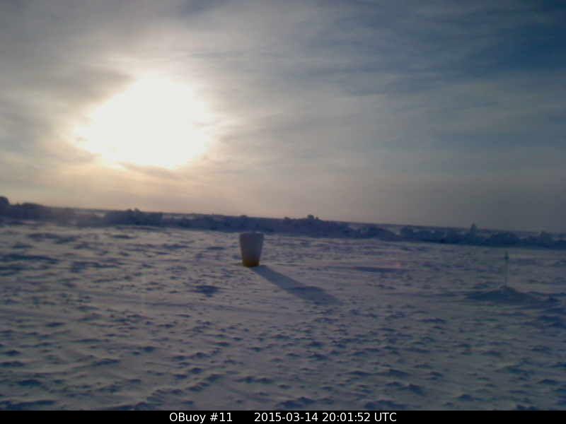
O-Buoy 11 Webcam
O-Buoy 11 from April 21st 2015, revealing an open lead in the backgroundO-Buoy 11 image from March 14th 2015, showing ITP 85 and IMB buoy 2014I
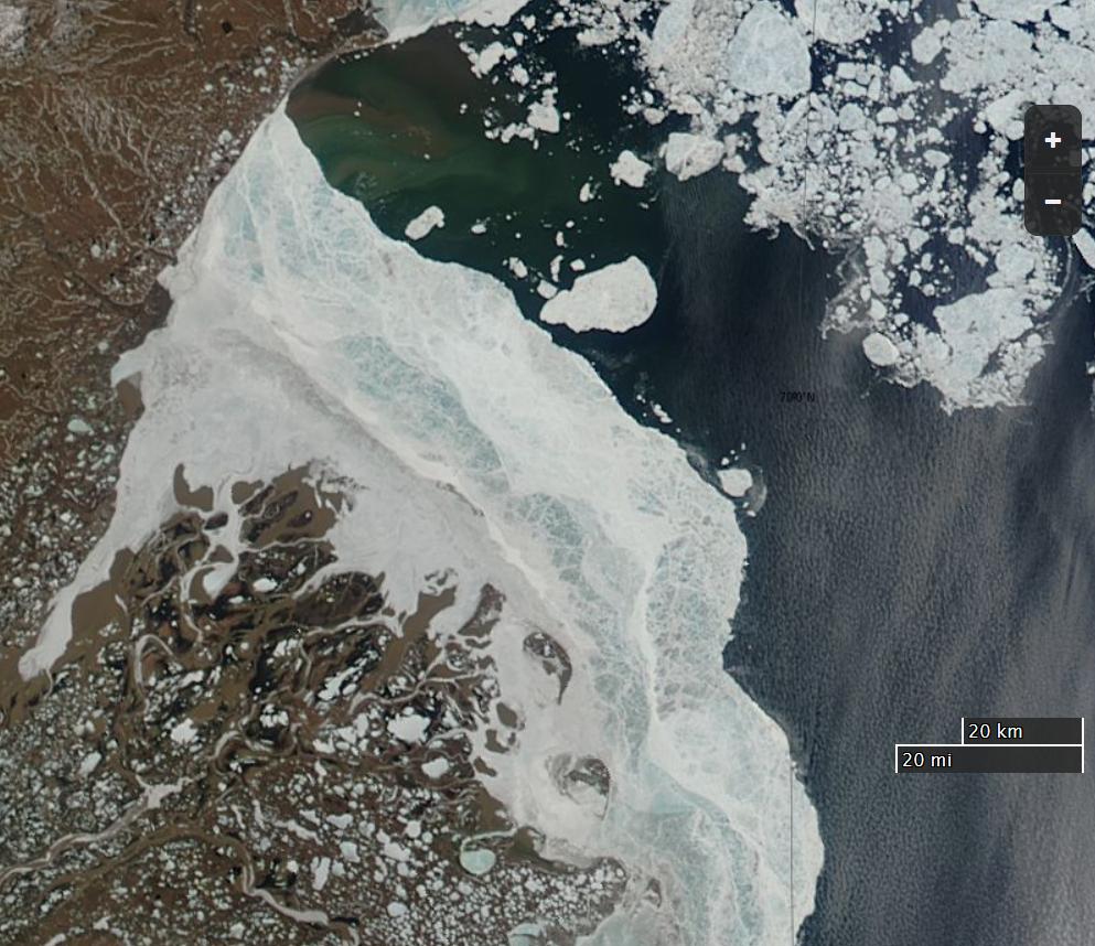
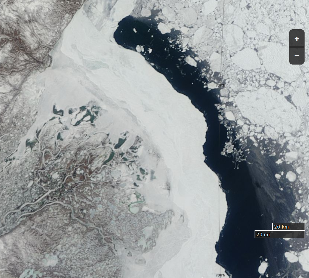
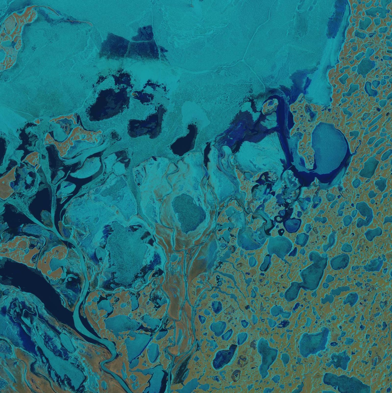
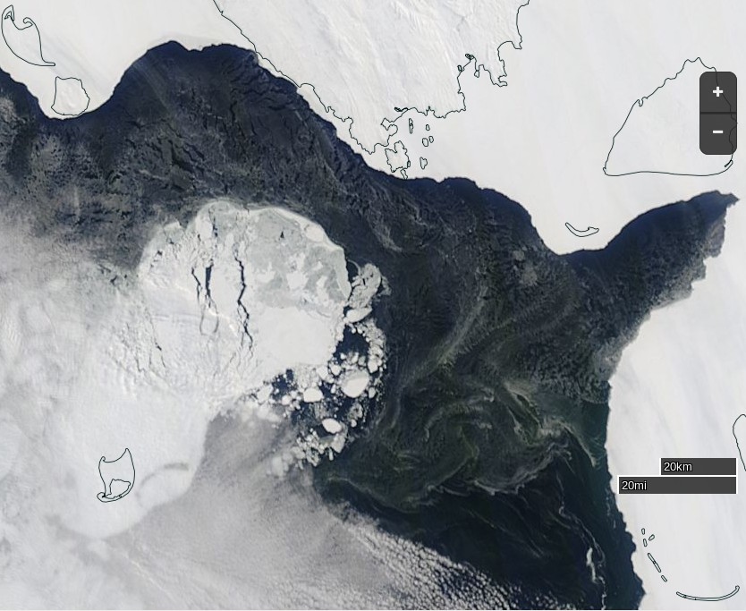
NASA Worldview “true-color” image of the Beaufort Sea off the Mackenzie Delta on May 23rd 2015, derived from bands 1, 4 and 3 of the MODIS sensor on the Aqua satelliteA Landsat 8 image of the Beaufort Sea on May 18th 2015A Landsat 8 image of the Beaufort Sea on May 16th 2015NASA Worldview “true-color” image of The Beaufort Sea on May 14th 2015, derived from bands 1, 4 and 3 of the MODIS sensor on the Aqua satelliteNASA Worldview “true-color” image of the Beaufort Sea off the Mackenzie Delta on May 13th 2015, derived from bands 1, 4 and 3 of the MODIS sensor on the Terra satelliteA Landsat 8 image of the Mackenzie Delta on May 13th 2015NASA Worldview “true-color” image of the Mackenzie Delta on May 8th 2015, derived from bands 1, 4 and 3 of the MODIS sensor on the Terra satelliteA Landsat 8 image of the Mackenzie Delta on May 4th 2015NASA Worldview “true-color” image of the Beaufort Sea off the Mackenzie Delta on April 23rd 2015, derived from bands 1, 4 and 3 of the MODIS sensor on the Terra satellite
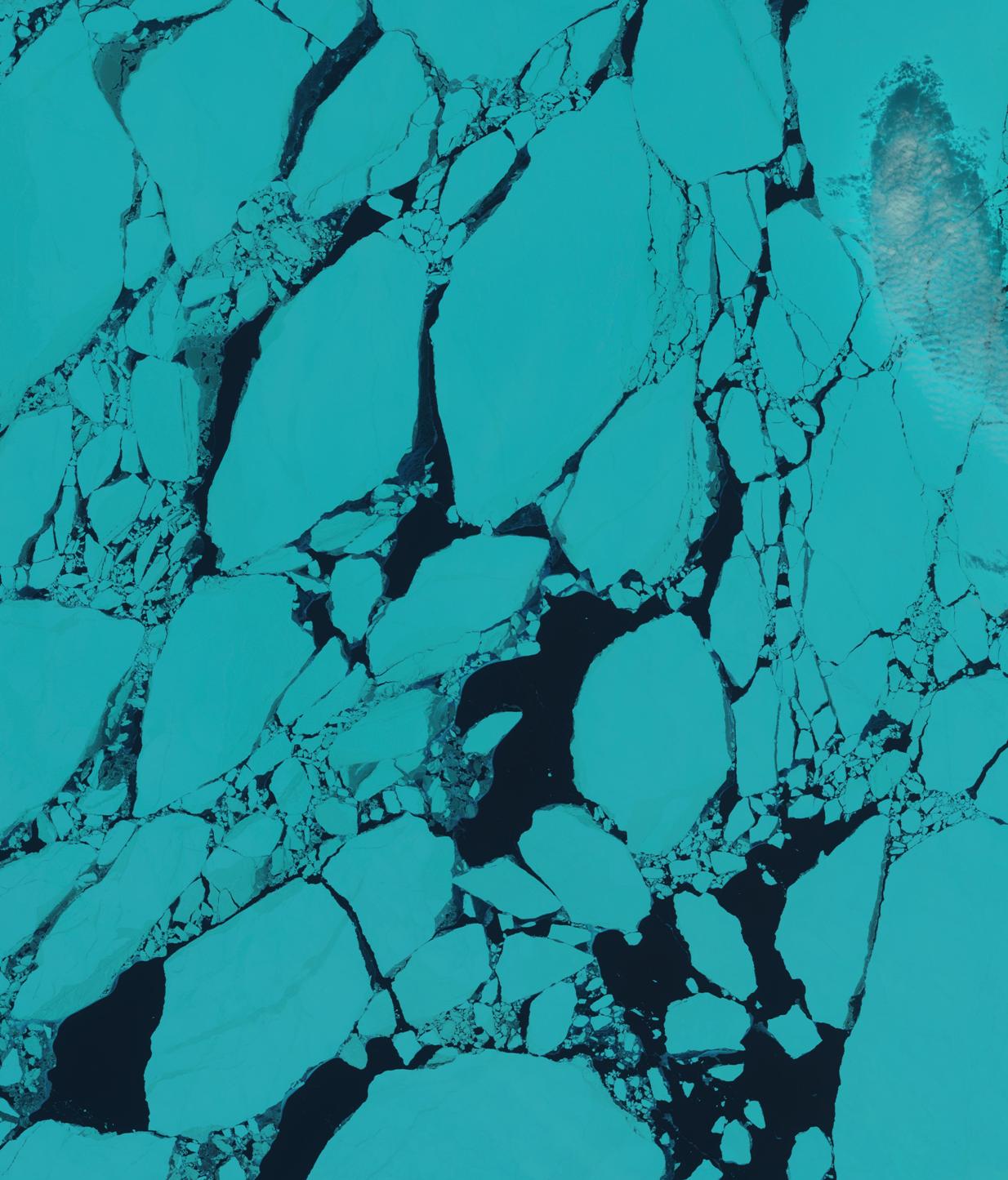
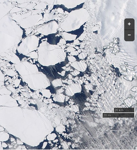
Central Arctic
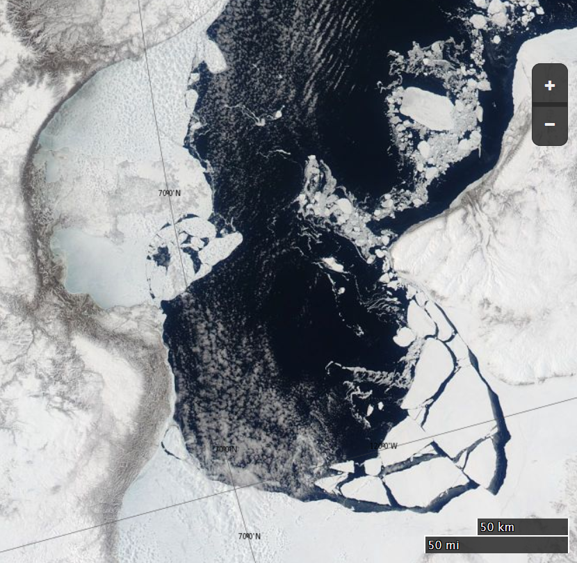
NASA Worldview “true-color” image of the Central Arctic north of the Laptev Sea on May 23rd 2015, from the Terra satelliteNASA Worldview “true-color” image of the area North of Svalbard on April 28th 2015, derived from bands 1, 4 and 3 of the MODIS sensor on the Aqua satellite
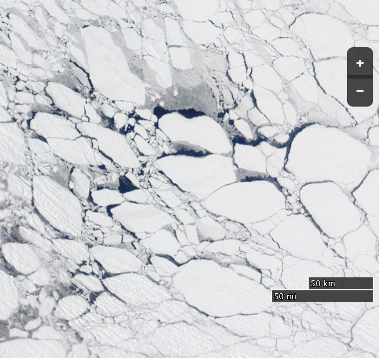
Kara Sea
NASA Worldview “true-color” image of the Kara Sea refreezing on April 15th 2015, derived from bands 1, 4 and 3 of the MODIS sensor on the Terra satellite
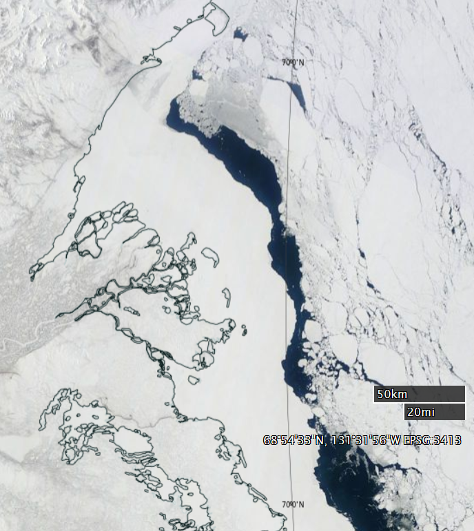
Northwest Passage
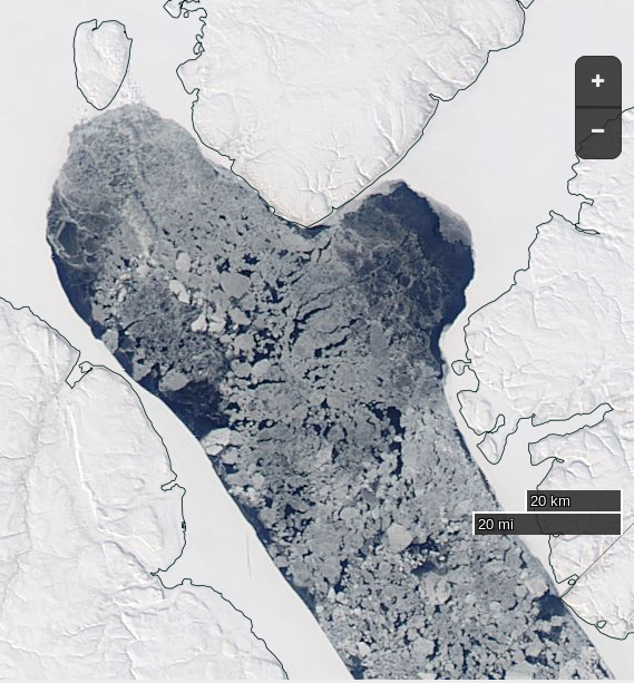
NASA Worldview “true-color” image of the Amundsen Gulf on May 15th 2015, derived from bands 1, 4 and 3 of the MODIS sensor on the Aqua satelliteNASA Worldview “true-color” image of the Barrow Strait on April 28th 2015, derived from bands 1, 4 and 3 of the MODIS sensor on the Aqua satelliteNASA Worldview “true-color” image of the Amundsen Gulf on April 23rd 2015, derived from bands 1, 4 and 3 of the MODIS sensor on the Terra satellite
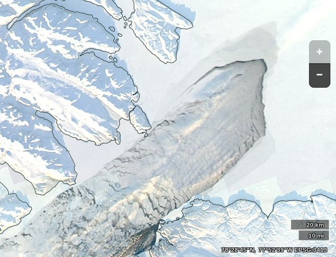
Nares Strait
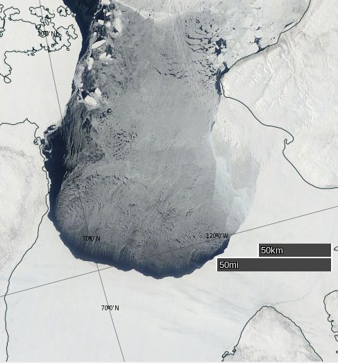
NASA Worldview “true-color” image of the Kane Basin on March 3rd 2015, derived from bands 1, 4 and 3 of the MODIS sensor on the Aqua satellite
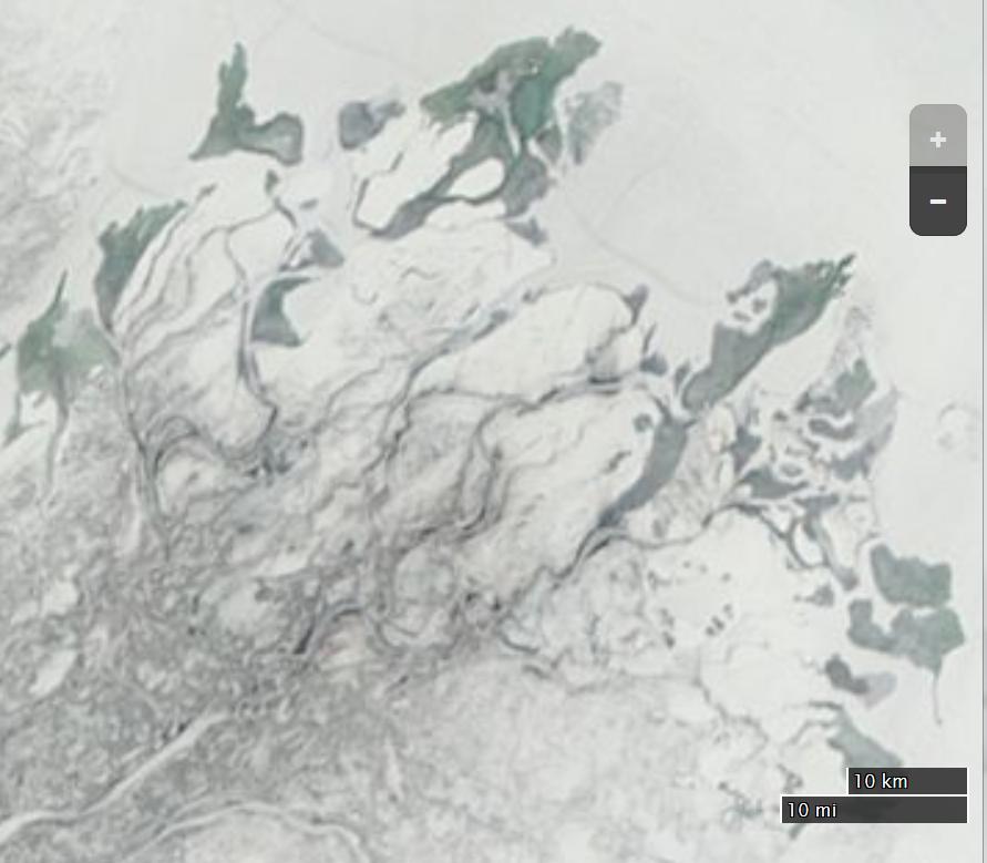
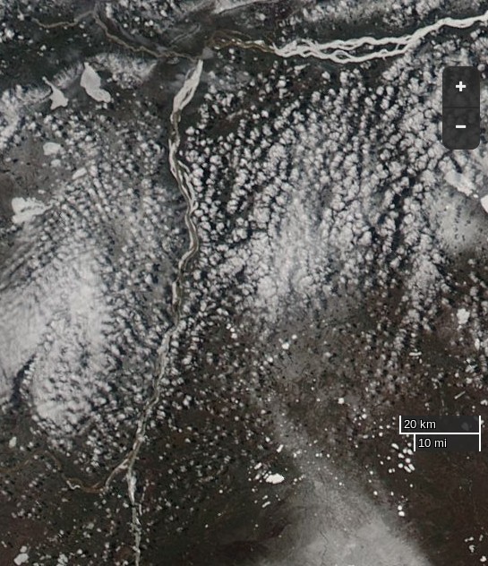
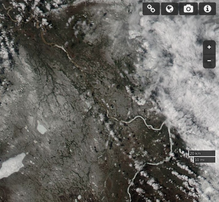
Mackenzie River
NASA Worldview “true-color” image of the confluence of the Liard and Mackenzie rivers on May 4th 2015, using the MODIS sensor on the Aqua satelliteNASA Worldview “true-color” image of the confluence of the Liard and Mackenzie rivers on April 29th 2015, using the MODIS sensor on the Aqua satellite
This website uses cookies to improve your experience. We'll assume you're ok with this, but you can opt-out if you wish. Cookie settingsACCEPT
Privacy & Cookies Policy
Privacy Overview
This website uses cookies to improve your experience while you navigate through the website. Out of these, the cookies that are categorized as necessary are stored on your browser as they are essential for the working of basic functionalities of the website. We also use third-party cookies that help us analyze and understand how you use this website. These cookies will be stored in your browser only with your consent. You also have the option to opt-out of these cookies. But opting out of some of these cookies may affect your browsing experience.
Necessary cookies are absolutely essential for the website to function properly. This category only includes cookies that ensures basic functionalities and security features of the website. These cookies do not store any personal information.
Any cookies that may not be particularly necessary for the website to function and is used specifically to collect user personal data via analytics, ads, other embedded contents are termed as non-necessary cookies. It is mandatory to procure user consent prior to running these cookies on your website.