Tag Archives: Thomas Lavergne

Facts About the Arctic in October 2021

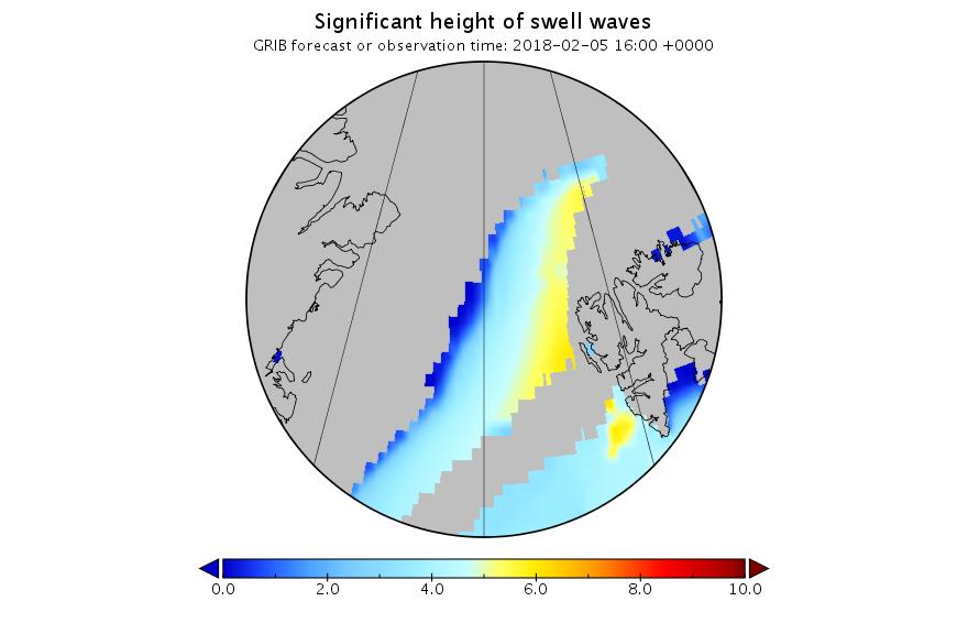
By way of a change we start this month’s look at all things Arctic with some sea ice statistical analysis. Anthony Watts’ Arctic porky pie production line has been speeding up recently, and I am not the only one who has noticed. As part of his takedown of the latest “skeptical” allegations against the United Kingdom Met Office Tamino has been looking at trends in Arctic sea ice extent over at his “Open Mind” blog:

First and foremost, the yearly minimum is only one day out of the year. We have sea ice extent data throughout the year, and what happens during the rest of the year counts. Instead of using the annual minimum, let’s use the annual average. To avoid losing the most recent data, I’ll compute the yearly average for October through the following September rather than the usual (but arbitrary) January through December. I’ll also omit October 1978 through September 1979 because that year is incomplete. I get this:

The annual averages show much less fluctuation than the annual minima, so we can estimate things like rates of change with greater precision. I find that there is statistical evidence that the rate changed over time. One model of such changes uses three straight-line segments with their changes chosen to best-fit the data, like this:

Continue reading Facts About the Arctic in October 2021

The 2021 Maximum Arctic Sea Ice Extent

Here’s the latest graph of Arctic sea ice extent from JAXA/ViSHOP, with 2021 and 2015 highlighted:

Extent fell by over 100,000 square kilometres between February 16th and 17th! Can that steep fall continue, as it did for one more day in 2015?

Here too is Zack Labe’s 2021 overview of JAXA maximum extent over the previous couple of decades:

2015’s maximum was very early, on February 15th. Hence the current extremely tentative 2021 maximum is already both higher and later than that. The decadal average extent graphs show the date of the maximum getting later and later, and the 2010’s peaks in the middle of March.

It therefore seems likely that there is more freezing still to come this year. However lets take a look at the high resolution AMSR2 sea ice area graph for the Sea Of Okhotsk:

The recent fall in Arctic wide extent has evidently been driven by the recent rapid decline in this peripheral sea, where SMOS reveals more thin ice ripe for further melting:

In conclusion, the high res AMSR2 extent metric shows the tentative 2021 peak below that of 2015!

Continue reading The 2021 Maximum Arctic Sea Ice Extent

The February 2018 Fram Strait Cyclones

As already mentioned in our February Arctic overview, another storm is brewing. Here is this morning’s weather forecast for Longyearbyen, the capital of Svalbard:

svalbard_forecast_20180204

Much like last month, temperatures are above zero and rain is forecast. That’s because once again the current synoptic chart from Environment Canada shows a warm wet flow from way down south over Svalbard and on into the Central Arctic:

Synopsis-20180204-06Z-Crop

Next here’s the current combined wave and swell height forecast for the Svalbard area:

Significant_height_of_combined_w in multi_1.glo_15mext.20180204_00037

and here’s the associated wave period forecast:

Mean_period_of_wind_waves_surfac in multi_1.glo_15mext.20180204_00037

It’s still showing 10 meter waves with a 15 second period north of Svalbard tomorrow lunchtime. Somewhat unusually for the Arctic these aren’t merely giant wind waves. Zooming in on the Fram Strait and breaking out the underlying primary swell reveals:

Significant_height_of_swell_wave in multi_1.glo_15mext.20180204_00041

Mean_period_of_swell_waves_order in multi_1.glo_15mext.20180204_00041

A long distance swell of that magnitude is going to cause some damage.


[Edit – February 5th]

The current ECMWF forecast for a split polar vortex, courtesy of Ice Shieldz on the Arctic Sea Ice Forum:

Polar View Wind Speed 10 hPa 20180204

This is suggestive of more cyclones to come, but sticking with the current one for now, here is the MSLP chart at 00:00 UTC this morning showing the cyclone’s central pressure has dropped to 952 hPa:

Synopsis-20180205-00Z-Crop

Here too is the current WaveWatch III forecast for 15:00 UTC today:

Significant_height_of_combined_w in multi_1.glo_15mext.20180205_00016

Mean_period_of_wind_waves_surfac in multi_1.glo_15mext.20180205_00016

The peak of the swell north of Svalbard is now slightly later than originally forecast, but it’s still enormous!

Here’s a single Sentinel 1B synthetic aperture radar image that captures the position of the ice edge north of Svalbard yesterday quite nicely:

S1B_Svalbard_20180204T0654


[Edit – February 7th]

A brief overview of the effect of the recent cyclone on the sea ice in the Arctic via AMSR2:

UH-Arctic-Area-2018-02-06

UH-Arctic-Extent-2018-02-06

atlantic-201802-1280

Click the image to animate it.


[Edit – February 8th]

An Arctic wide take via Thomas Lavergne on Twitter:

plus the latest AMSR2 concentration map:

Arc_20180207_res3.125_LARGE


[Edit – February 9th]

An interesting insight into CryoSat-2 sea ice thickness measurements from Stefan Hendricks on Twitter:

Plus Judah Cohen on the split polar vortex: