In a press release last week the Alfred Wegener Institute announced that:
From her home port in Bremerhaven, the Polarstern will set course for Fram Strait and the marginal ice zone north of Svalbard, where warm, nutrient-rich Atlantic Water flows into the Arctic Ocean.
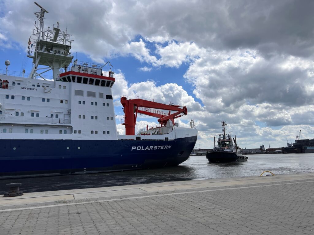
Closely monitoring energy and material flows in the marginal ice zone from the ship and from on ice floes is the goal of the team led by Prof Torsten Kanzow, expedition leader and a physical oceanographer at the Alfred Wegener Institute, Helmholtz Centre for Polar and Marine Research (AWI). “We will make transects from the open water into the dense sea ice and back. Along the way, we will gather a variety of physical, chemical and biological measurements in the marginal ice zone, which is especially productive and therefore especially interesting,” explains Kanzow.
“The team will also venture onto the ice to take a closer look at the thickness and characteristics of the sea ice and measure ocean currents and eddies away from the ship. We’ll also deploy so-called gliders in the ocean, buoys on the ice and moorings on the seafloor, all of which will record valuable data for the next several years. Lastly, we’ll extend our research radius with helicopter flights, during which we’ll observe, for instance, the melt ponds on the ice.”
Following the work in the MIZ north of Svalbard Polarstern will be heading for Northeast Greenland:
The two glaciers there (79 N Glacier and Zachariae Isstrom) are both characterised by ocean-driven ice loss and accelerated ice flows, making them contributors to sea-level rise. “We plan to install moorings in order to gauge the sensitivity of ocean-driven glacier melting to changing environmental conditions,” says Kanzow, who’s been pursuing research in the region since 2016. Accompanying geodetic-glaciological studies will be conducted on Greenland. On the one hand, they will assess how the solid ground is rising on extremely small scales, because it is still rebounding from the past weight of ice masses that melted after the last glacial maximum. On the other, they will explore temporal variations in supraglacial lakes; their drainage out to sea can have considerable effects on glacier flow speeds and glacier melting.
The progress of Polarstern can be followed on the expedition web site, and via the University of Bremen’s Polarstern centric sea ice concentration maps:

The AWI team have installed three seasonal ice mass balance buoys in the MIZ, without the usual thermistor string but with a new conductivity, temperature, depth (CTD) sensor fitted to measure salinity instead. Less colourful than usual sea ice thickness graphs can be viewed on the 2022 ice mass balance buoy page. Here’s one example:
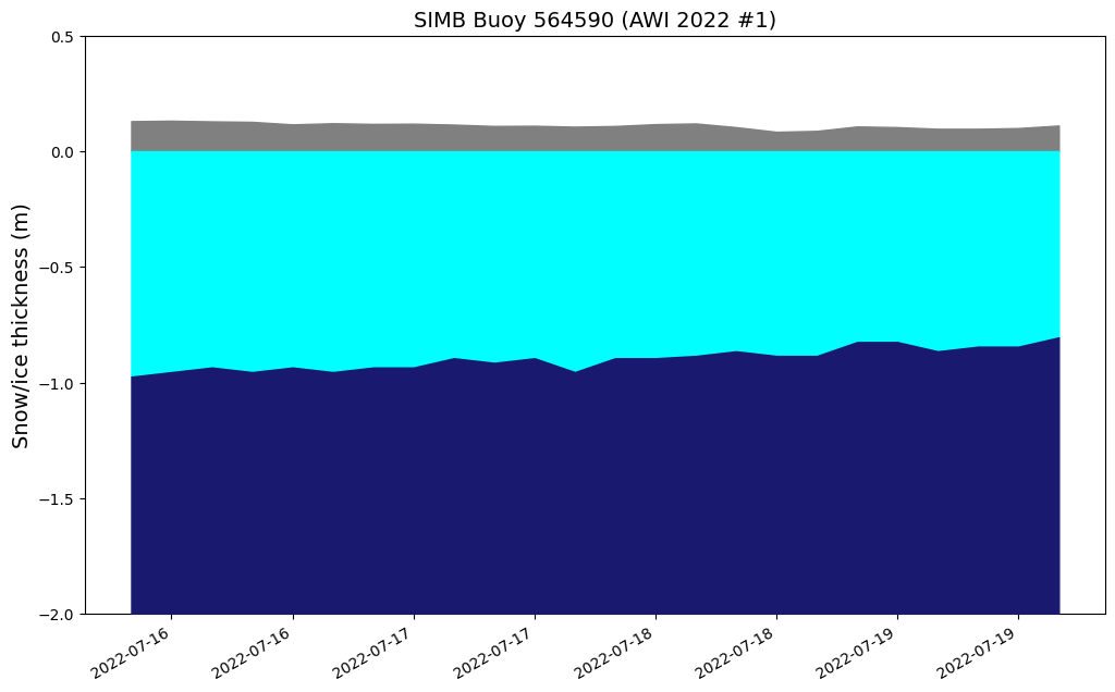
The image above updates on a daily basis, but today’s version is worth preserving for posterity:
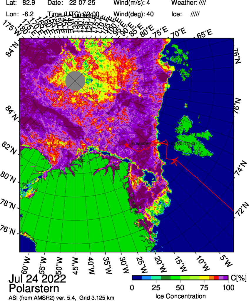
There is currently a large area of low concentration sea ice around the North Pole, and Polarstern has left its station in the marginal ice zone and is currently heading north of Greenland rather than in the direction of the 79N/ZI glaciers.
[Edit – July 27th]Further investigation reveals that:
Polarstern has been heading even further north to the Aurora Vent field (about 130 nautical miles northwest). As part of an extensive lithospheric study, ocean bottom seismometers will be deployed at depths of more than 4000 meters to record seismological activity as well as the physical properties of the hydrothermal plume.
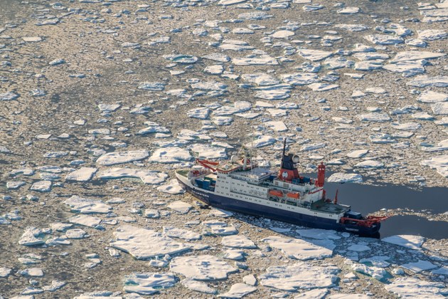
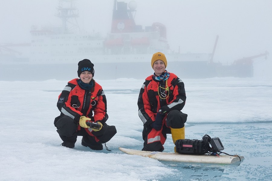
Polarstern is now heading south again, where a team from the Technical University of Dresden will be deploying a modified surfboard on supra-glacial lakes! Here’s a test run in a melt pond:
I discovered something rather interesting whilst browsing the Marine Traffic ship tracking web site this morning:
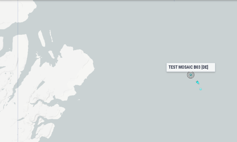
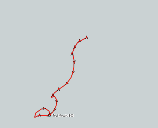
It appears as if the AWI have recently installed two buoys that support AIS position reporting, as indeed does Polarstern itself:

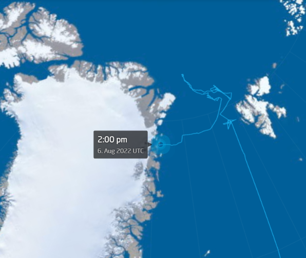
Polarstern is now approaching the 79 N and Zachariae Isstrom glaciers:
Watch this space!
The approx 6 cubic mils of ice loss a year can be replaced by shoving glaciers into the sea breakin the ice up farming the ice sheet etc and large deep bergs can be anchored to the bottom of the Siberian coastal waters to cool it and stop methane etc and the largest chunks can be used to divert currents