According to the Danish Arctic research institutions’ Polar Portal this year there’s been an “Unusually Early Greenland Melt“. The article by Ruth Mottram points out that:
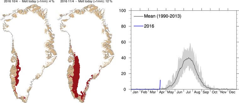
An early melt event over the Greenland ice sheet occurred this week, smashing by a month the previous records of more than 10% of the ice sheet melting.
Based on observation-initialized weather model runs by DMI, almost 12% of the Greenland ice sheet had more than 1mm of melt on Monday 11th April, following an early start to melting the previous day. Scientists at DMI were at first incredulous due to the early date. “We had to check that our models were still working properly” said Peter Langen, a climate scientist at DMI. “Fortunately we could see from the PROMICE.dk stations on the ice sheet that it had been well above melting, even above 10 °C. This helped to explain the results”. The former top 3 earliest dates for a melt area larger than 10% were previously all in May (5th May 2010, 8th May 1990, 8th May 2006).
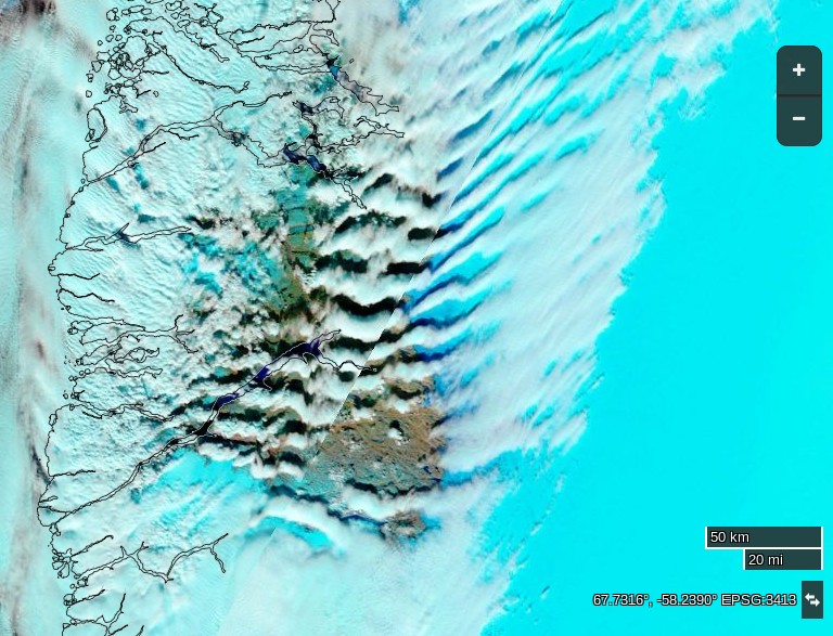
Just in case you think the DMI’s models really aren’t working properly, take a look at this satellite image of South West Greenland today:

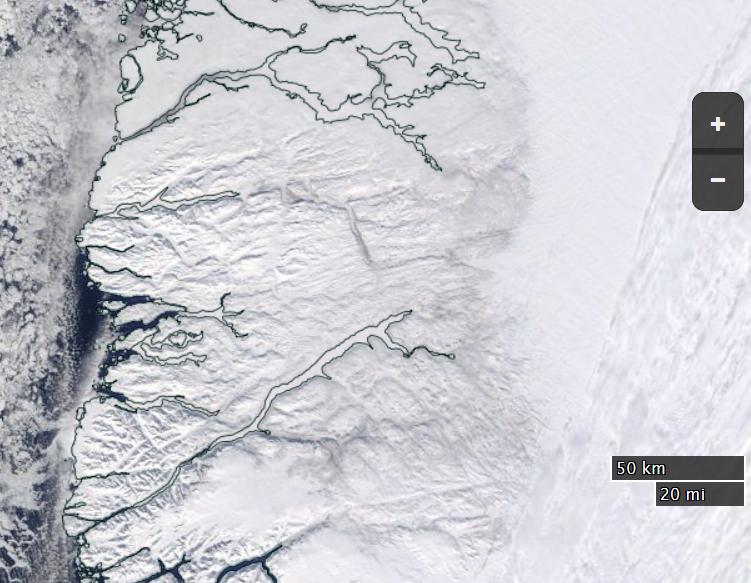
Then head over to NASA Worldview and flip back to last year using the controls at the bottom left:
Can you spot the difference? According to the Polar Portal once again:
Around the coast of Greenland where DMI has climate records dating back to 1873, Greenland came close to setting a record temperature for the whole of Greenland in April. Kangerlussuaq measured a daily maximum of 17.8°C, the previous record is 18.0°C and the DMI observation station at the Summit of Greenland set a new “warm” April record of -6.6°C. “Everything is melting” observed Nuuk resident Aqqaluk Petersen.
The melt was driven by warm air advected from the SW bringing rain along the coast, similar to an extreme melt event in 2012 when 95% of the surface of the ice sheet had melt, a situation that has been reported in detail by GEUS and DMI scientists (Fausto et al., 2016).
It has been brought to my attention that the cloud cover in the first image above makes it difficult to see the melting ice sheet. By way of explanation, at this time of year you can use images derived from the MODIS instrument on the Aqua and Terra satellites and the VIIRS instrument on the Suomi satellite to watch the snow cover retreat across Alaska, Canada, Siberia and indeed Greenland.
There is less snow on the ground in SW Greenland than “normal” this year, and hence lower albedo. This implies there will also be less snow on the ice sheet itself, which is hence more vulnerable to “early melt”. In order to get visual confirmation of melt ponds on the ice clear blue skies are needed. You can see hints of “blue ice” through the gaps in the cloud on my first image above. To bring out the “blue ice” try following the link above to NASA Worldview and then experiment with the controls on the left. If you select “Corrected Reflectance (Bands 7-2-1) you should be able to produce an image that looks like this:

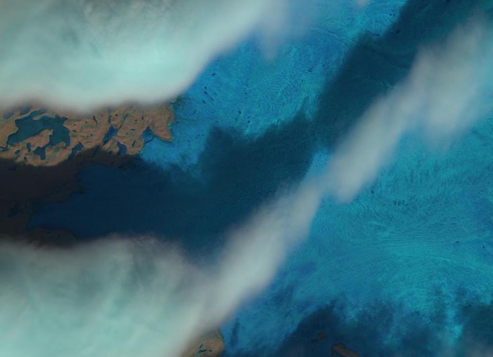
For a closer look between the clouds here’s a “natural colour” image from Landsat 8:


CIRES PhD student Mike MacFerrin’s article on this week’s melt:
Yesterday’s Greenland melt — a troubling precursor?
Here’s the planned route for the FirnCover 2016 Greenland expedition:
Via Jason Box:
Jason adds: